
Tracking invasive species from space: Satellite-based Monitoring of invasive species in central-Chile (SaMovar)
- Ansprechperson:
- Förderung:
German Federal Ministry of Economy and Technology (BMWI)
- Projektbeteiligte:
Dr. Michael Förster, Prof. Dr. Birgit Kleinschmit
- Starttermin:
2016
- Endtermin:
2018
SaMovar
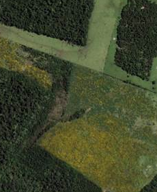 Source: Google Maps |
Chile has a large number of endemic species due to its isolated location caused by the Andean mountain range in the East and the Pacific in the West. Chile is therefore listed as one of the biodiversity hots-spots of the Planet. At the same time a number of invasive species occurred over the last years and have shown to have a notable negative effect on Chilean ecosystems. The project SaMovar will investigate between 2016 and 2018 the past and recent spread of selected invasive species. More specific, the objective is to map the current state of spread of three invasive species (Ulex europaeus, Acacia dealbata , Pinus radiata) suspected to have a large impact on local and regional biodiversity. Moreover, the future spread of the invasive species will be spatially estimated to produce risk maps for management measures. For both objectives the application of multi- temporal and multi-sensoral satellite data, especially Sentinel-2 and the Landsat archive, will be pursued. The project is funded by the German Aerospace Center DLR on behalf of the German Federal Ministry of Economy and Technology and aims at showing the potential of the Copernicus missions for supplying services to international conventions or initiatives, such as GEO BON. |