
FluBig: Fluvial Biogeomorphology across Multiple Scales
- Contact:
- Funding:
DFG
- Partner:
Project Lead: University of Würzburg (Earth Observation Research Cluster)
- Startdate:
02/2024
- Enddate:
02/2027
The research project “FluBig—Fluvial Biogeomorphology Across Spatio-Temporal Scales” investigates the interactions between floodplain vegetation and hydrological and geomorphological processes in river systems. The goal is to better understand and quantify these complex feedback loops across various spatial and temporal scales.
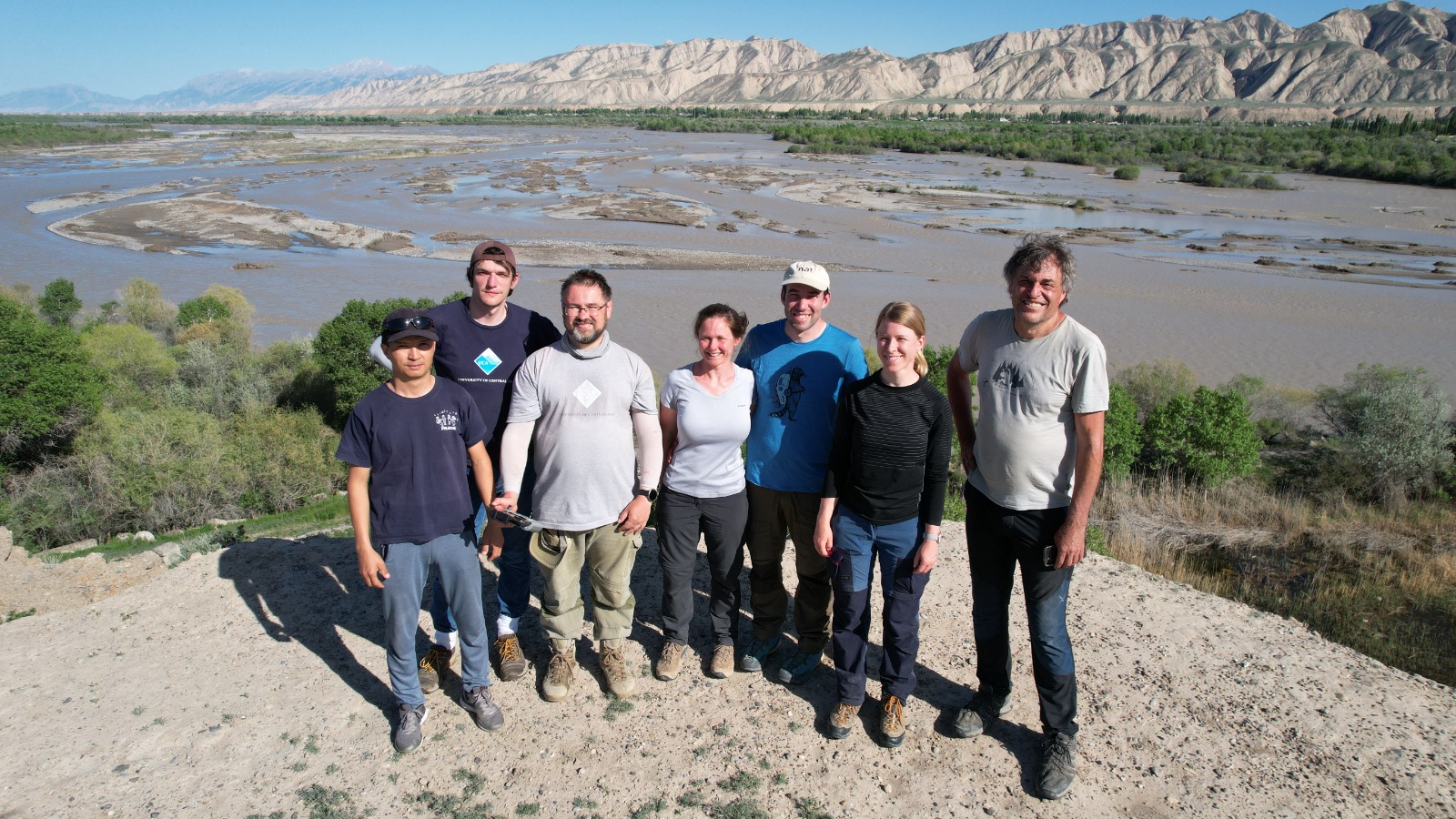
The study area is the largely natural Naryn River in Kyrgyzstan, which offers ideal conditions for analysis due to its high dynamics. The project collects data at various scales—from local structures such as gravel bars to the entire river corridor. Field measurements, drone imagery, and satellite data (e.g., Sentinel) are used for this purpose.
By combining modern remote sensing technologies with ecohydraulic modeling, the project pursues an innovative multiscale approach. This enables, for the first time, a comprehensive quantification of biogeomorphological processes across different scales. The results contribute to a better understanding of natural river dynamics and support the development of sustainable measures in river management and restoration projects.