


Nature conservation improvements to the Schiftunger Bruch (wet meadow) – land management and water balance
More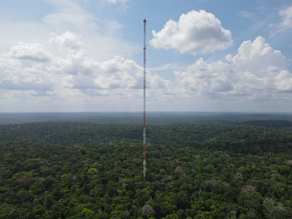
Water use and storage capacity of Amazonian indicator tree species with different phenological strategies and in different ecosystems in the context of climate change
More
Optimising floodplain dynamics for the conservation and development of the two nature reserves, Rastatter Rheinaue (Germany) and Delta de la Sauer (France)
More
Groundwater development along the central and southern Upper Rhine in the past, present, and future
More
Interactions between floodplain vegetation and hydrological and geomorphological processes in river systems
More
Integration of remote sensing-based vegetation structure maps into hydrodynamic-numerical models as a basis for the optimisation of flood protection measures
More